Alaska Tsunami Inundation Zone Mortgage
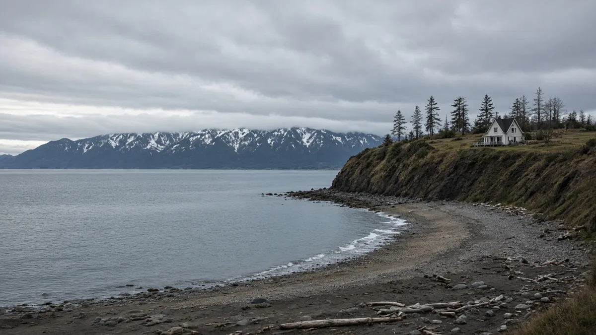
An Alaska tsunami inundation zone mortgage is a home loan on a coastal purchase where a state tsunami map is part of what the buyer should look at before waiving a deadline. The map is a model of water that could come ashore after an earthquake or a landslide. It is not a FEMA flood-zone determination, and it is not an earthquake-insurance policy. Those are other documents. Mixing them is how a closing gets the wrong binder and misses the map that was the actual question.
The flood-zone mortgage guide and the flood-insurance guide are about the flood determination and the policy that follows it. The earthquake-insurance article is about that policy. A buyer in Homer, or in Kodiak or Sitka, can need all three conversations. This page is only the state tsunami map.
Alaska Home HQ is educational. It is not a lender and it is not the state geological survey. Rates vary. Subject to credit approval.
What an Alaska tsunami inundation zone mortgage uses the map for
The Alaska Division of Geological & Geophysical Surveys publishes the maps on its tsunami inundation mapping page. DGGS describes coastal Alaska as living with the most serious tsunami risk in the United States. It says tsunamis from earthquakes in Alaska have caused damage and loss of life on Alaska coasts, on the West Coast of the contiguous states, and across the Pacific. It distinguishes near-field events, from nearby earthquakes and landslides, as hazards where people have minutes rather than hours.
The maps are numerical models of potential inundation, made with the Alaska Earthquake Center and the Alaska Division of Homeland Security and Emergency Management. DGGS says the work is funded by the National Tsunami Hazard Mitigation Program under the National Weather Service, and that the maps use the best tsunami science available when they were published. Communities are chosen with an eye to hazard, location, infrastructure, data, and whether local officials will use the results in a mitigation plan. The page keeps a sidebar of mapped areas. The list includes Homer, Seward, Kodiak, Sitka, Juneau, Ketchikan, Whittier, Valdez, Cordova, and Anchorage, among many others. If the town is not on that sidebar, say so. Do not borrow a neighboring community’s plate and call it this lot.
The map viewer that carries those products states its own limit in plain language. The map was built with assumptions. Actual inundation can differ because of earthquake-triggered landslides, structures on land, the tide, and local ground subsidence. The information is there so state and local agencies can plan evacuation and response. The viewer says the map is not appropriate for site-specific use or for land-use regulation, and that qualified people should interpret it. That sentence is the opposite of a building setback. This article states no setback distance. The DGGS page and the viewer that were opened do not publish one as a mortgage rule, and a federal property standard will not be relabeled here as an Alaska rule.
How a purchase file uses the map without pretending it is a survey
Look up the community map before the inspection and title deadlines die. See whether the mapped area and the street you are buying are even in the same conversation. Then stop treating the color on the screen as a surveyed line you can pace off with a phone. The viewer says the product is not for site-specific land-use regulation. A lender, an appraiser, and a buyer can still know the map exists and can still put the community sheet in the file as a disclosure the buyer reviewed. Knowing the map exists is not the same thing as a value haircut, and this page does not invent one.
A flood certificate answers a different map. Flood insurance, when a program requires it, follows that determination. A house can be discussed on a tsunami sheet and still have a flood determination that says something else, or the reverse. Order the flood determination if the loan program orders it. Read the tsunami sheet because you are on the coast and the state published one. Do not staple the tsunami printout to the flood application and call them the same zone.
Earthquake insurance is a policy question with its own article. This page does not read a tsunami map as an endorsement on an earthquake policy, and it does not read an earthquake policy as a substitute for looking at the map. Ask the insurer what the policy covers. The answer is in the form, not in a blog.
Appraisers comment on location. A coastal comment is not automatically a denial. Programs differ on hazard, insurability, and property condition. No guide reviewed for this article sets a foot-distance from the water as an Alaska tsunami rule for mortgages. If a listing agent quotes a setback, ask which ordinance or which recorded plat says it. If the answer is “the tsunami map,” go back to the viewer’s own statement that the map is not a land-use regulation.
What to keep in the stack
Keep the DGGS community page or the viewer print for the town you are buying in, with the date you looked, because these maps are updated as studies are redone. Keep the flood determination in the flood file. Keep any elevation certificate there too, if one was ordered for flood, and do not relabel it as a tsunami survey. Keep the insurance quotes labeled by peril. Title still has its own schedule. A tsunami map does not clear a lien, and a clean title does not move a modeled inundation line.
Near-field risk is a time problem, not a mortgage condition code. DGGS’s point about minutes rather than hours is about evacuation. It belongs in how you think about the house after you own it. It is not a number of feet to type into a loan estimate.
A Permanent Fund Dividend can help with cash to close on a coastal purchase. It does not redraw the map and it does not buy a policy by itself. Seasonal listing traffic on the Kenai and in Kodiak and Sitka piles up in the warmer months, which is when it is easiest to skip a map “because the street looks fine at high tide.” The model is about a wave, not about today’s tide line. Look it up while the contract still has time.
Subject to credit approval and to the property qualifying. Alaska Home HQ will not tell you that a house inside a modeled area is unfinanceable, or that a house outside the color is free of coastal hazard. The official map is the state’s. The loan program is the lender’s. They answer different questions.
Ready to explore your options? Get a free home loan quote from Premier Mortgage (NMLS# 1168048).
Frequently Asked Questions
Is a tsunami inundation map the same as an NFIP flood zone?
No. The state map is a modeled inundation product from DGGS and its partners, for evacuation and response planning, while an NFIP flood zone comes from the flood determination the loan program uses. The flood guides on this site cover that determination and the insurance that can follow it. Stapling one map to the other does not make them the same zone.
Does the state map publish a building setback I can measure?
The DGGS mapping page and the map viewer opened for this article do not publish a mortgage setback in feet. The viewer says the map is not appropriate for site-specific use or for land-use regulation. If a setback applies to the lot, it will be in a plat, a local code, or another recorded source, not in a distance this page invented.
Do I still look at the map if the house is up the hill in Homer or Kodiak?
Yes, if that community is on the DGGS list, which includes Homer, Kodiak, and Sitka among others. The point of looking is to see whether the mapped area has anything to do with the street, and then to remember the viewer’s warning that the picture is not a site survey. A hill is not a substitute for opening the map.
Will earthquake insurance satisfy a tsunami question on a loan?
Earthquake insurance is a separate policy question, covered in its own article. This page does not treat that policy as a reading of the inundation map, and it does not treat the map as a coverage grant. Ask the insurer what the form covers, and keep the map in the disclosure stack on its own.
Can a lender refuse a house because it shows on the map?
A lender may consider hazards, insurability, and property condition under the program’s rules. This article does not state that a modeled area is an automatic decline or an automatic approval. Bring the community map, the flood determination, and the insurance information as separate items. Subject to credit approval and to the home qualifying.
Ready to Take the Next Step?
Get a free home loan quote today through our trusted partner.
Or call 9078411600
Disclaimer: This article is for informational purposes only and does not constitute financial, mortgage, legal, or tax advice. Interest rates, loan programs, eligibility requirements, and fees are subject to change without notice and may vary based on your individual circumstances. Alaska Home HQ is not a lender, broker, or financial institution. All loan applications are processed by Premier Mortgage (NMLS: 1168048). We may have a business relationship with Premier Mortgage and may receive compensation when you use their services through our links. Consult a licensed mortgage professional before making financial decisions. Terms of Service · Privacy Policy